AI System Identifies 384 Andhra Pradesh Highway Corridors
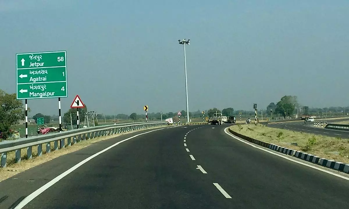
The Union Road Transport and Highways Ministry identified 384 accident-prone National Highway corridors in Andhra Pradesh using AI-based tools and Electronic Detailed Accident Report data, according to reporting on figures tabled in Parliament. NDTV reports that the state ranked sixth nationally by corridor count, within 6,358 black corridors associated with 37,164 deaths across India from 2023 through 2025.
The Union Road Transport and Highways Ministry identified 384 accident-prone National Highway corridors in Andhra Pradesh using AI-based tools and data from the Electronic Detailed Accident Report, or e-DAR, platform, according to figures reported as having been tabled in Parliament.
NDTV reports that the national analysis found 6,358 black corridors spanning 6,409.7 km, where 37,164 deaths were recorded between 2023 and 2025. Andhra Pradesh had the sixth-largest count, behind Tamil Nadu, Uttar Pradesh, Karnataka, Maharashtra, and Kerala. Outlook India separately reported the same Andhra Pradesh count and national death toll.
A black corridor is a continuous National Highway stretch that qualifies as an accident black spot because of recorded fatal and grievous-injury crashes. The distinction matters operationally: identifying a corridor rather than an isolated intersection can support interventions across a longer road segment.
Data and mitigation measures
According to NDTV, the Ministry described the corridors as being identified in real time with AI-based tools and e-DAR accident data. The reporting does not specify the model, features, validation methodology, or thresholds used to classify individual corridors.
NDTV also reports that the government's immediate safety measures include:
- •Road markings and warning signs
- •Crash barriers, road studs, and delineators
- •Closure of unauthorized access points
For data and ML practitioners, the reported deployment is a public-sector example of combining structured crash records with location-based network analysis. Comparable safety systems depend heavily on incident-report completeness, accurate geocoding, consistent severity labels, and methods that account for traffic exposure. Raw crash totals alone can overemphasize heavily traveled corridors, so the unreported methodology and evaluation metrics remain important open questions for assessing system performance.
Key Points
- 1AI-based analysis of e-DAR records identified 384 high-risk National Highway corridors in Andhra Pradesh, placing the state sixth nationally.
- 2The nationwide dataset covers 6,358 corridors and 37,164 deaths from 2023-2025, underscoring the scale of road-safety risk.
- 3Comparable geospatial safety models require reliable incident labels and traffic-exposure measures to distinguish elevated risk from high traffic volume.
Scoring Rationale
This is a practical government application of AI-assisted, geospatial accident-risk identification, with clear relevance to public-sector analytics and safety systems. The reporting does not disclose model architecture, evaluation results, or implementation detail, and the underlying parliamentary data was reported in July.
Sources
Primary source and supporting public references used for this report.
Practice with real Ad Tech data
90 SQL & Python problems · 15 industry datasets
250 free problems · No credit card
See all Ad Tech problems