Product Launchsatellite imagery3d terrainvantorremote sensing
Vantor Produces 3D Satellite Imagery Of Yulin
7.0
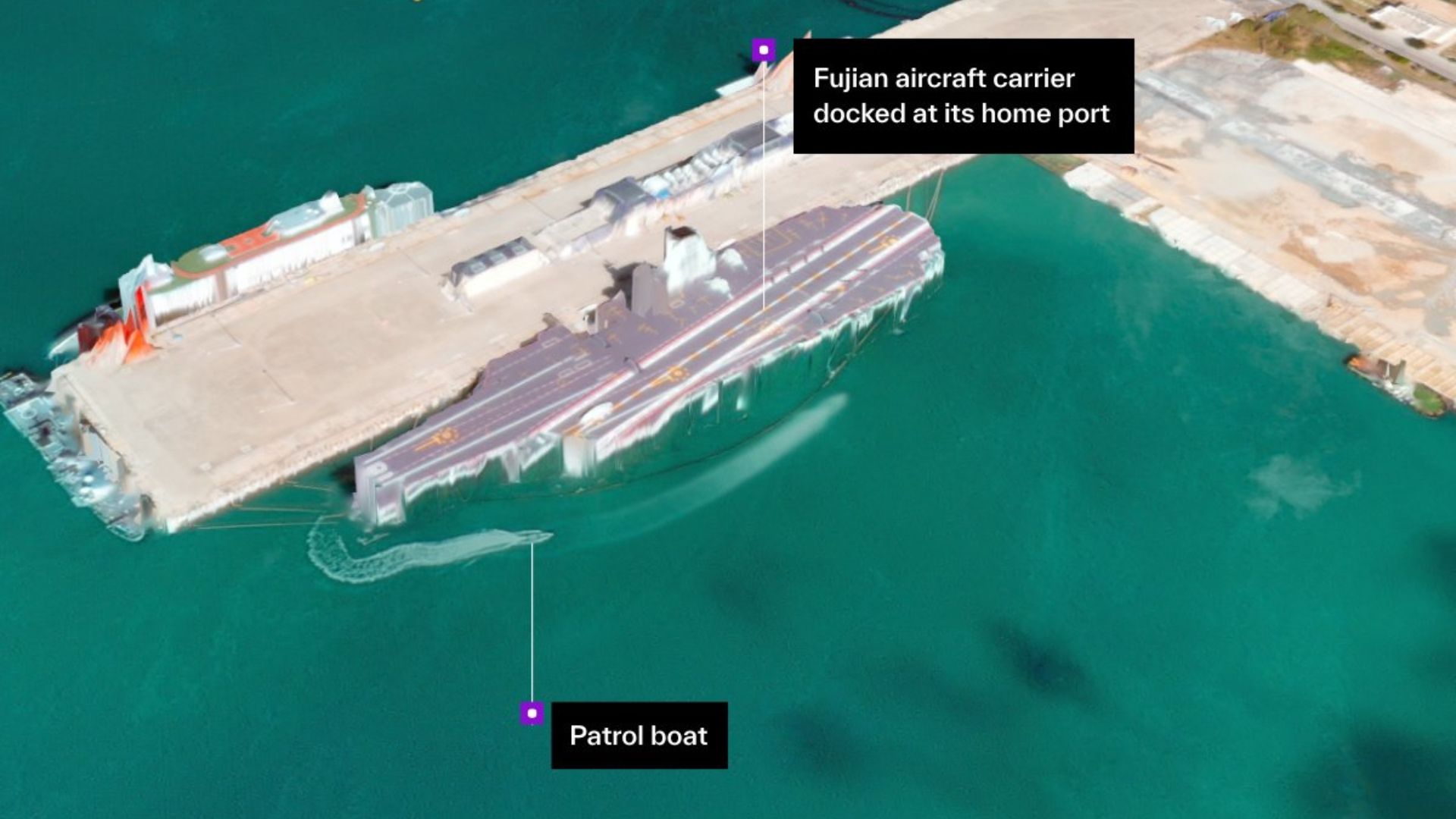
U.S. satellite company Vantor on Dec. 5, 2025 released high-resolution 3D images of China's Yulin Naval Base on Hainan Island, produced from a single satellite pass at 11:21 a.m. local time. The firm says the outputs provide 50 cm resolution and sub-4-meter spatial accuracy and were processed into explorable 3D terrain in under 10 hours, enabling faster analysis for civil and military planning.
Key Points
- 1Produced 50 cm-resolution 3D terrain from a single satellite pass processed in under ten hours.
- 2Demonstrates sub-4-meter spatial accuracy enabling more precise mapping and object identification at scale.
- 3Enables analysts to accelerate reconnaissance, planning, and digital-twin creation for civilian and military applications.
Scoring Rationale
High operational utility for geospatial intelligence, but relies on single-company claims without independent verification or public benchmarks.
Sources
Public references used for this report.
Practice interview problems based on real data
1,625 SQL & Python problems across 15 industry datasets — the exact type of data you work with.
Try 250 free problems