Case Studycomputer visiondronesmarine conservationcitizen science
University of Limerick Detects Beach Plastic Hotspots
8.2
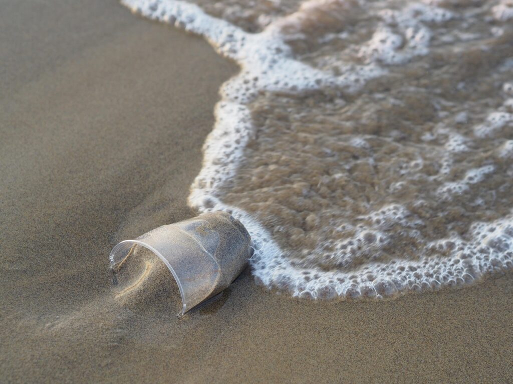
Researchers at the University of Limerick have developed a drone-based computer-vision platform to map plastic pollution on coastlines, testing hundreds of flights across Irish beaches and pilots in nine countries during recent field trials. The open-source system detects items as small as 1cm from 30 metres, provides GPS coordinates via a free mobile app, and has helped community groups target clean-ups and inform local waste-management decisions.
Key Points
- 1Develops drone and ML system detecting plastic as small as 1cm from 30m altitude
- 2Reveals hotspots accumulating five to ten times more plastic, improving monitoring efficiency
- 3Enables volunteers to target clean-ups via GPS app, increasing participation and data-driven policy
Scoring Rationale
Strong applied computer-vision deployment with multi-country pilots and clear impact; limited novelty beyond implementation details.
Practice interview problems based on real data
1,625 SQL & Python problems across 15 industry datasets — the exact type of data you work with.
Try 250 free problems