Researchcomputer visionmarine conservationhabitat suitability
Researchers Use AI to Map Deep-Sea Ecosystems
9.1
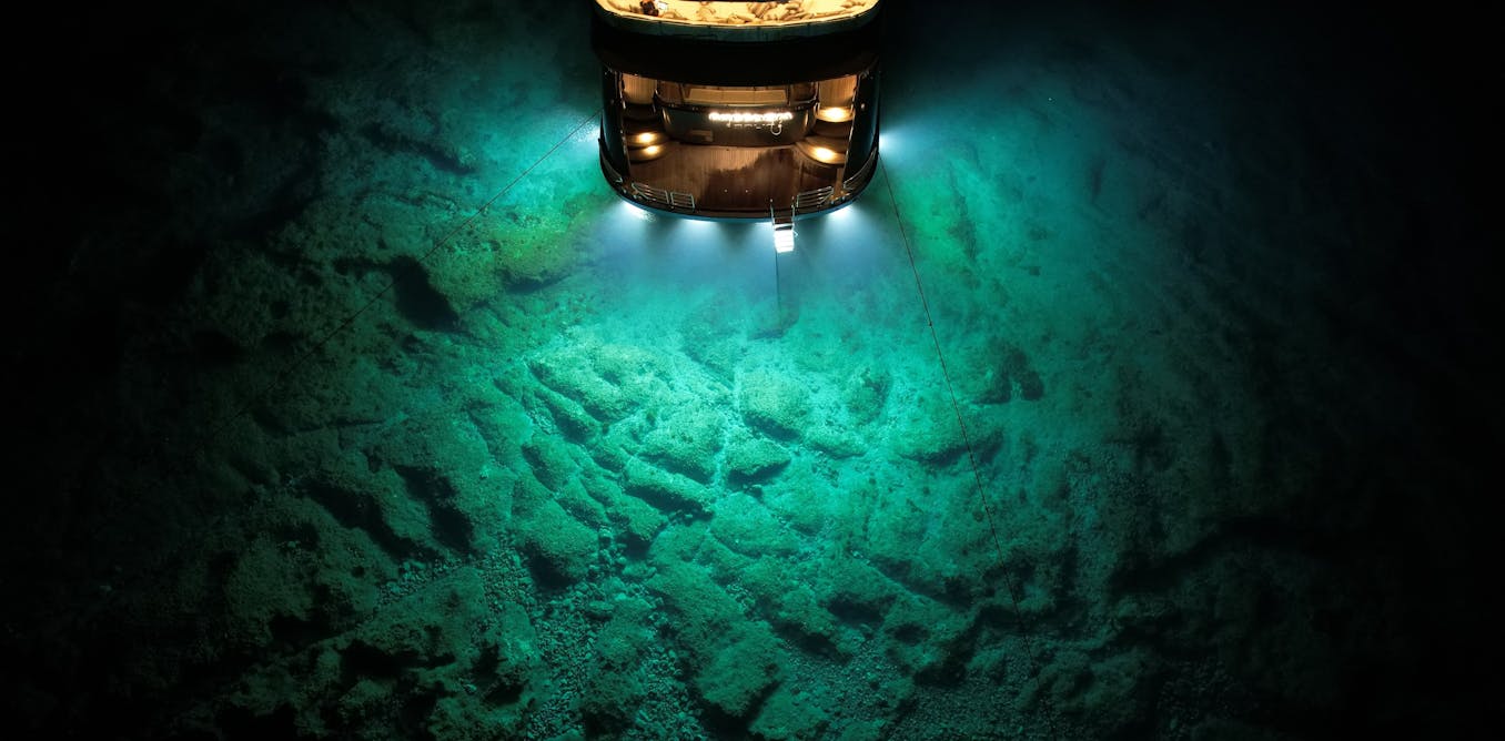
Deep Vision, a new project led by marine researchers, will apply AI to thousands of hours of archival seafloor imagery to map vulnerable marine ecosystems across the Atlantic. Building on 2022 work that analyzed over 58,000 images in under ten days to map xenophyophores, the project aims to generate habitat-suitability models to inform marine protected-area placement and conservation planning.
Key Points
- 1Apply AI to analyze thousands of hours of unreviewed deep-sea imagery across the Atlantic basin
- 2Accelerate mapping of vulnerable marine ecosystems, overcoming months-long manual analysis bottlenecks
- 3Enable high-resolution habitat-suitability models to guide marine-protected area placement and conservation actions
Scoring Rationale
High practical impact and credible research basis, limited by scope of Atlantic pilot and reliance on archival footage coverage.
Practice interview problems based on real data
1,625 SQL & Python problems across 15 industry datasets — the exact type of data you work with.
Try 250 free problems

