TUM Maps 2.75 Billion Buildings in 3D
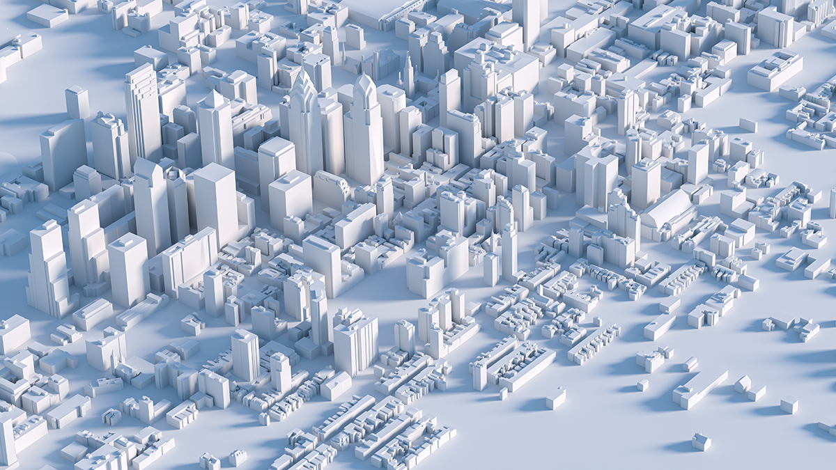
Researchers at the Technical University of Munich (TUM) publish the GlobalBuildingAtlas in 2025, mapping 2.75 billion buildings worldwide with 3D models at 3-by-3 meter resolution. The dataset is roughly 30 times finer than previous building-footprint databases, adds over a billion structures, and supports urban planning, disaster response, and climate-related infrastructure analysis despite some regional height-estimation limitations.
Key Points
- 1Maps 2.75 billion buildings globally with 3D models at 3-by-3 meter resolution.
- 2Provides volumetric data 30× finer than prior databases, enabling improved population and density estimates.
- 3Allows practitioners to compute building-volume-per-capita and inform urban planning, disaster preparedness, and resource allocation.
Scoring Rationale
Peer-reviewed global 3D building dataset delivers significant practical value and novelty + limited regional training data and height-underestimation constraints.
Sources
Public references used for this report.
Practice interview problems based on real data
1,625 SQL & Python problems across 15 industry datasets — the exact type of data you work with.
Try 250 free problems