
Liberty Mutual Reinsurance and ICEYE launch parametric wildfire insurance
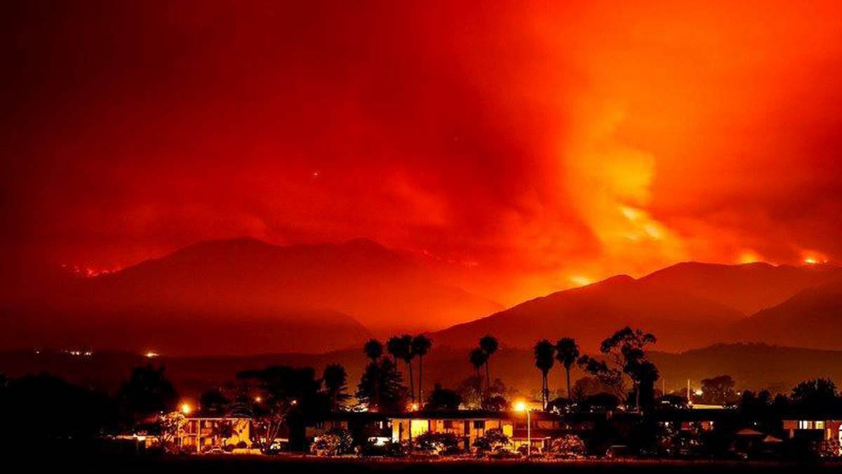
Liberty Mutual Reinsurance and ICEYE have launched a building-level parametric wildfire insurance product that uses ICEYE's SAR satellite constellation to classify individual properties as 'destroyed' or 'undamaged' after a wildfire event. The binary classification eliminates loss adjusters and can trigger payouts within days. The solution launches initially in the United States and Australia, where wildfire risk is highest, and relies on satellite-derived remote sensing data rather than on-site inspection. The product represents an applied remote-sensing and analytics approach to insurance settlement, though no machine learning model architecture is specifically disclosed.
What happened
Liberty Mutual Reinsurance and ICEYE announced the launch of a parametric wildfire insurance solution, reported by Reinsurance News and Artemis. The product uses ICEYE's SAR (Synthetic Aperture Radar) satellite constellation to assess individual properties following a wildfire event. Each insured property is classified as either "destroyed" or "undamaged" against predefined criteria, with results that the companies say can be delivered within hours of an event (Artemis). The binary classification eliminates the need for on-site loss adjusters or subjective assessments, and triggers payouts within days when agreed loss parameters are met (Reinsurance News). The solution will initially be available in the United States and Australia, where wildfire exposure is particularly high, with plans to expand as ICEYE's product scope grows (Artemis).
Context
Wildfire risk has increased in frequency and severity in recent years, driving demand for faster, more scalable insurance settlement mechanisms. Parametric insurance pays out based on objective event parameters rather than loss assessments, reducing settlement timelines and operational costs. The use of SAR satellite data for property-level damage classification represents an applied remote-sensing and data-analytics approach in insurtech, though this product does not disclose use of machine learning models specifically.
Key Points
- 1Launch: Liberty Mutual Reinsurance and ICEYE introduced a parametric wildfire insurance product using satellite data.
- 2Context: Wildfires are increasing in frequency and severity, elevating demand for faster, scalable disaster monitoring and response.
- 3Implication: Combining satellite monitoring with parametric triggers enables more objective, faster disaster event verification and potential payouts.
Scoring Rationale
An insurtech product launch with a data analytics and remote-sensing angle, but no disclosed AI or machine learning model component. Relevant to practitioners in spatial analytics and parametric insurance, but peripheral to core AI/ML. Score reflects niche-but-relevant applied data science application.
Sources
Public references used for this report.
Practice with real Health & Insurance data
90 SQL & Python problems · 15 industry datasets
250 free problems · No credit card
See all Health & Insurance problems