Policy & Ethicsremote sensingsardisaster managementai governance
Satellite Data Strengthens New Zealand Disaster Response
6.0
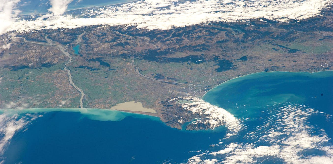
New Zealand’s recent summer extreme weather underscores the indispensable role of satellite remote sensing in disaster response, resilience and long-term hazard mapping, the article says. It notes the country secured "user status" with the International Charter in 2024 but warns access remains fragile due to voluntary arrangements, private ownership and sparse legal frameworks, urging stronger data-sharing rules and AI governance.
Key Points
- 1Demonstrates satellites provide continuous flood, landslide and damage mapping despite clouds, rain, and inaccessible terrain.
- 2Highlights fragile access due to voluntary charters, private ownership, commercial licences and weak international legal frameworks.
- 3Urges practitioners to secure contracts, redundancy, transparent AI workflows and treat data chains as critical infrastructure.
Scoring Rationale
Practical policy and operational insights relevant nationally, limited by commentary format and lack of new empirical evidence.
Sources
Public references used for this report.
Practice interview problems based on real data
1,625 SQL & Python problems across 15 industry datasets — the exact type of data you work with.
Try 250 free problems