Researchers Develop Multisensor Drone Mine Dataset
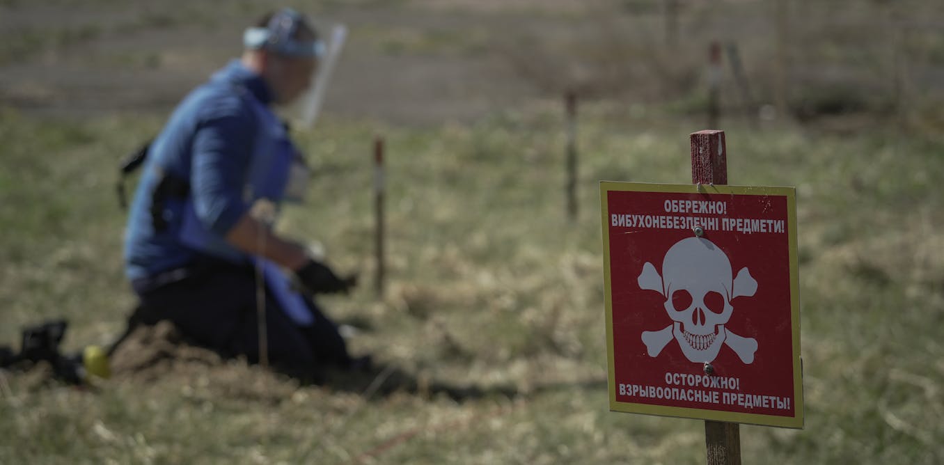
Researchers at Rochester Institute of Technology and collaborators have developed a large, georeferenced multisensor dataset and evaluated drone-based sensors for land mine and unexploded ordnance detection. The collection covers over 140 inert targets in Oklahoma and 110 PFM-1 replicas in Belgium, captured with hyperspectral, multispectral, thermal, RGB, LiDAR, SAR, GPR, electromagnetic-induction, and magnetometer sensors. They also propose uncertainty-aware AI methods to improve detection reliability for demining operations.
Key Points
- 1Demonstrate drone magnetic sensing matches ground detectors' accuracy while increasing survey speed roughly tenfold
- 2Provide first large georeferenced multisensor dataset with 140+ and 110 geolocated inert targets
- 3Enable development and benchmarking of uncertainty-aware multisensor AI systems for safer, more reliable demining
Scoring Rationale
High novelty and direct applicability to demining research, limited by niche scope and partial dataset release under review.
Practice interview problems based on real data
1,625 SQL & Python problems across 15 industry datasets — the exact type of data you work with.
Try 250 free problems