Niantic Uses Pokemon Go Data For Navigation
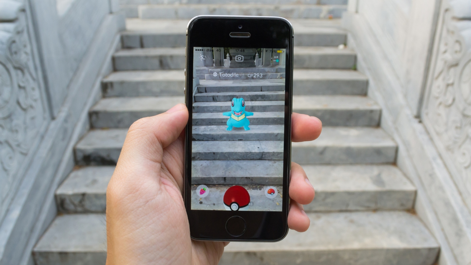
Niantic announced on November 15, 2024 that photos and scans from Pokemon Go have produced a dataset of more than 30 billion real-world images used to train spatial models and over 50 million local neural networks with 150 trillion parameters. The company is now applying this large geospatial model to power visual navigation for delivery robots and spatial intelligence across more than one million locations, enabling improved real-world perception.
Key Points
- 1Aggregates 30 billion real-world images and trained 50 million local neural networks with 150 trillion parameters
- 2Enables a large geospatial model to provide spatial intelligence and visual positioning across over one million locations
- 3Offers practitioners a massive real-world dataset for training navigation and robotics perception models in complex environments
Scoring Rationale
Strong industry relevance and official dataset claims, but limited technical detail reduces immediate reproducibility and depth.
Sources
Public references used for this report.
Practice interview problems based on real data
1,625 SQL & Python problems across 15 industry datasets — the exact type of data you work with.
Try 250 free problems