
Climate Models Drive Accurate Long-Term Earth Projections
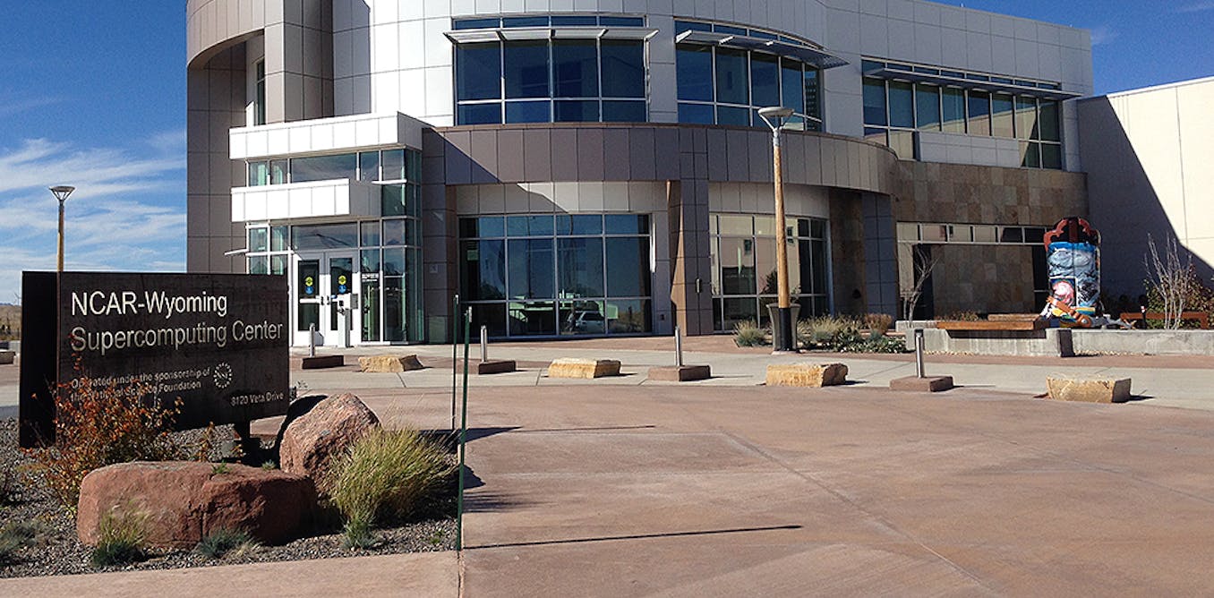
Climate scientists explain how climate models running on petaflop supercomputers simulate Earth by solving physical equations on 3D grids, using ensembles to manage chaos and produce robust projections. Dozens of international models coordinated through CMIP and centers like NCAR inform policies and infrastructure decisions—such as flood elevation and power-grid resilience—by projecting outcomes under scenarios including varying greenhouse gas emissions and volcanic forcing.
Key Points
- 1Run ensembles of 3D-grid physical simulations on supercomputers to project climate responses.
- 2Use of multiple independent models and CMIP coordination increases confidence in projections.
- 3Inform infrastructure, emergency planning, and policy decisions by translating model ensembles into impacts.
Scoring Rationale
Strong overview of established global climate-modeling practices, but offers explanatory synthesis rather than novel research.
Sources
Public references used for this report.
Practice interview problems based on real data
1,625 SQL & Python problems across 15 industry datasets — the exact type of data you work with.
Try 250 free problems